What Country Is Mount Everest In? Nepal, China, or Both
Mount Everest sits on the border of Nepal and China. But the question of which country it belongs to is more complicated than the border line suggests.

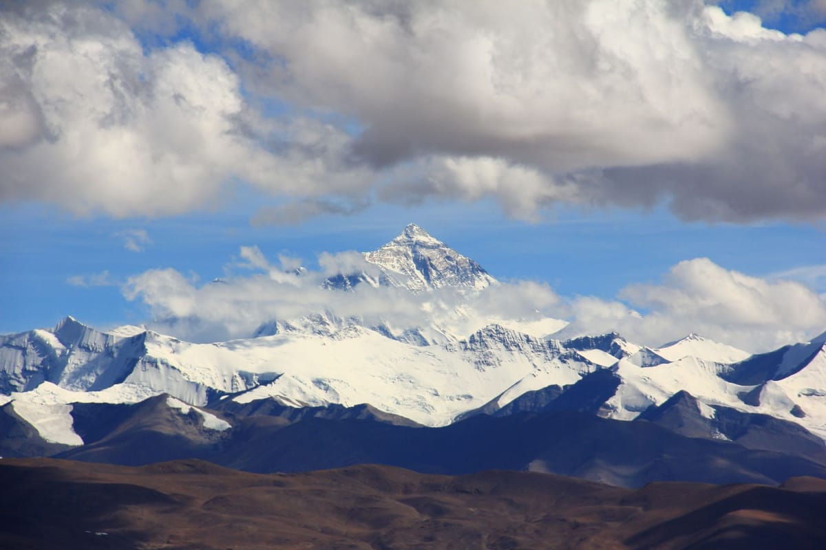
The border between Nepal and China runs through the summit of Mount Everest. The precise line has been disputed and renegotiated, but the basic fact is settled: Everest is not entirely in one country. Both Nepal and China issue climbing permits for the same mountain. Both have done so for decades.
The short answer, then, is both. The longer answer is more interesting.
The Summit and the Border
Everest sits on the boundary between Nepal to the south and the Tibet Autonomous Region of China to the north. The summit ridge forms the border. The exact placement of the summit point itself has been claimed differently by each country: China has historically placed it fractionally within Tibet; Nepal's position is that it sits on the boundary line. The 8,848.86-metre measurement, accepted by both countries following a joint survey completed in 2020, applies regardless of which side you stand on when you measure it.
The border was formally fixed by the China-Nepal Boundary Treaty of 1960, which delineated the Himalayan crest as the dividing line. This placed Everest as a shared landmark rather than an exclusively national one. It was a pragmatic arrangement. The mountain had been there for considerably longer than either modern state.
Two Sides, Two Routes
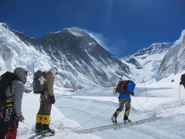
The south face of Everest is in Nepal. The north face is in China, specifically in Tibet. These are not just political distinctions; they correspond to two entirely different climbing routes.
The south col route, approached through Nepal from the Khumbu Valley, is the route Edmund Hillary and Tenzing Norgay used for the first ascent in 1953. It remains the more popular option, accounting for roughly 80% of all expeditions. A permit on the Nepal side costs approximately USD 11,000 per climber.
The north ridge route, approached from Tibet, was the original British expedition route from the 1920s and 1930s. China closed the north side to foreign climbers in 2020 and has restricted access intermittently since. When open, it has historically been slightly cheaper but technically demanding in different ways.
The Two Names
In Nepal, the mountain is called Sagarmatha. In Tibet, it is Qomolangma. These are not translations of each other.
Sagarmatha comes from Sanskrit roots: sagar, meaning sky or ocean, and matha, meaning head or forehead. The translation is roughly head of the sky, or goddess of the sky. The name was officially designated in 1960 by the government of Prime Minister B.P. Koirala as part of asserting Nepalese sovereignty over the mountain and its surrounding territory.
Qomolangma is Tibetan: Qomo means goddess or mother, langma means the world. It translates as goddess mother of the world. The name predates any political border claim by centuries. Tibetan communities used it long before European surveyors arrived in the nineteenth century.
These two names carry different understandings of what the mountain is. Sagarmatha looks upward: the mountain as sky, as the limit of the perceivable world. Qomolangma looks inward: the mountain as source, as the ground of existence. The difference is not semantic. It reflects two distinct relationships between a people and a landscape.
The name Everest was assigned by the Royal Geographical Society in London in 1865, after Sir George Everest, the British Surveyor General of India. He never visited the mountain. He objected to the naming on practical grounds: the local names could not be rendered in the scripts of Indian languages, he felt, so a Western name was imposed over two that already existed.
The Permits and the Politics
Nepal charges USD 11,000 per climber for a south-side permit. The money flows into the government's coffers, funds Sagarmatha National Park operations, and supports the communities of the Khumbu valley, including Namche Bazaar, Khumjung, and Tengboche. The national park itself, a UNESCO World Heritage Site designated in 1979, covers the Nepal side of the Everest massif.
China has at various points charged comparable or lower fees for the north side, but access has been increasingly restricted. In 2020, China closed the north side entirely, citing COVID-19 concerns, and it has not fully reopened to foreign expeditions since.
The political dimension of Everest access has sharpened in recent years. China's restrictions on the north side have concentrated nearly all commercial Everest traffic on the Nepal route. For Nepal's economy, this is significant: Everest climbing generates over USD 300 million annually when permits, equipment, lodging, and porter fees are counted together.
Nepal's Stronger Cultural Claim
The Sherpa communities who live in the Khumbu valley, the people who first guided climbers to the summit and who continue to do most of the high-altitude work, are Nepali. Sagarmatha National Park is one of the most significant conservation areas in Asia. The south face, the route that most people in the world associate with Everest, is Nepali territory.
When Hillary and Norgay stood on the summit on May 29, 1953, they were technically in both countries at once. Norgay was Nepali. The route they had climbed was Nepali. The mountain they had summited, by every measure of human relationship and history, was most deeply connected to the country below them on the south side.
Frequently Asked Questions
Is Mount Everest in Nepal or China? Both. The summit sits on the border between Nepal and the Tibet Autonomous Region of China. The south face is in Nepal; the north face is in Tibet.
Which side do most climbers use? The south side, via Nepal. Approximately 80% of Everest expeditions use the Nepal route through the Khumbu Valley.
What does Sagarmatha mean? Goddess of the sky, or head of the sky. The name was officially designated by Nepal in 1960.
What does Qomolangma mean? Goddess mother of the world. The Tibetan name predates modern political borders by centuries.
Who owns Mount Everest? Neither country owns it exclusively. Both Nepal and China have sovereignty over their respective sides and issue permits independently. The summit itself sits on the shared border.
How was the Everest border established? The China-Nepal Boundary Treaty of 1960 formally delineated the border at the Himalayan crest, placing Everest as a shared landmark between the two countries.