Eastern Nepal: The Part of the Country That Faces Sikkim
The part of Nepal that faces Sikkim, not Kathmandu, runs on a different clock. Tea estates at 2,000m, Rai villages, and a border that most foreign itineraries stop short of.

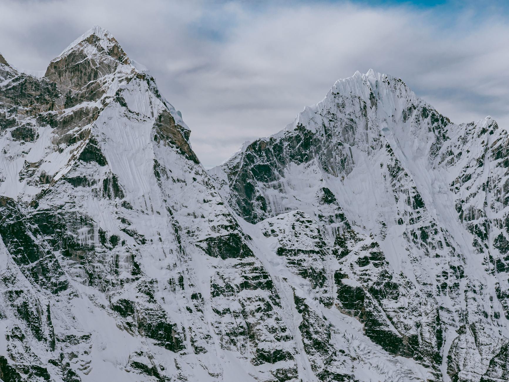
From the air, on the descent into Bhadrapur, the eastern point of entry to Nepal's farthest hills, the Koshi river system spreads below in a way that geography books do not prepare you for. Seven rivers converge in the eastern lowlands before crossing into India. From altitude, they read as a single drainage system of unusual complexity, veining the flatlands before the hills begin their steep rise toward Kanchenjunga's approaches. It is an introduction.
Eastern Nepal, the districts of Taplejung and Terhathum and Bhojpur and Sankhuwasabha, is less visited than any other region of the country. Not less developed in the way that is often implied, but less travelled by the kind of traveller who has already been everywhere else. The region has not been introduced because no one has thought it needed introduction. It does not need it. But here is one anyway.
Dharan
Dharan is the last major town before the hills begin in earnest. It sits at around 1,000 metres, where the Terai flatlands give way to the first real elevation, and it functions as a junction between two distinct Nepal experiences. The town has a specific relationship with the British Gurkha recruitment process: for most of the twentieth century, Dharan was home to a British military camp, and the Gurkha connection shaped the town's character in ways that are still legible in its layout and its economy.
The B.P. Koirala Institute of Health Sciences is also here, named for the first democratically elected prime minister of Nepal, who was from the east. The institute draws medical students and patients from the surrounding hills. The presence of a tertiary health facility at this junction point is not incidental to the region's history.
The Limbu and the Mundhum
The Limbu people are the dominant indigenous community of eastern Nepal's hills. Their cosmological and historical oral tradition, the Mundhum, has been transmitted through generations of practitioners called Samba and Yeba. The Mundhum contains creation accounts, ritual protocols, agricultural knowledge, and genealogical history in a form that is oral first and textual second.
There are linguists and anthropologists who have spent careers documenting the Mundhum. The full scope of it is not summarised quickly. What I can tell you is that when you walk through Taplejung district and encounter the Limbu communities there, you are walking through a landscape that has been named and categorised and interpreted in a system that pre-dates the Nepalese nation-state by several centuries. The hills have Limbu names. The streams have Limbu names. The reasons for those names are in the Mundhum.
The Pathivara temple
At 3,794 metres in Taplejung, the Pathivara Devi temple is one of Nepal's most significant Hindu pilgrimage sites outside the Kathmandu valley. The goddess is associated with the wishes of mothers, and the offerings brought by pilgrims come from the eastern hills and from the Nepali diaspora in India and beyond.
A cable car now connects the road terminus to the temple site, replacing a walk that previously took two full days. The cable car makes the temple accessible to pilgrims who would not have been able to complete the walk, particularly older pilgrims. It has also changed the character of the journey. The two-day walk was part of the offering, and its removal is a change that different people in the region assess differently.
The temple is operational year-round. The crowd is largest at Dashain.
Ilam and the gateway effect
Ilam district is the point of entry that feels most organised for visitors who are new to the east. It has the Ilam tea gardens, which are among the finest in Nepal and which I will write about elsewhere, and it has infrastructure appropriate to a district that has received some attention from the outside. From Ilam you can reach the Kanchenjunga approaches and the Milke Danda ridge and the communities of the eastern hills without the feeling of being entirely without orientation.
The Sikkim border is close from eastern Nepal but effectively closed to non-Indian nationals. The official crossing requires documentation and permissions that make it impractical for most visitors. In practice, the border operates in a porous way for daily commerce, as borders tend to do when the people on either side have been exchanging goods and moving between communities for several hundred years. The political border and the human geography are different things.
What Eastern Nepal asks
The region does not require anything unusual in terms of equipment or physical preparation. It requires a kind of attention that is different from the attention you bring to the Annapurna circuit or the Everest approaches. Those routes are well-labelled and heavily supported. Eastern Nepal is less mediated. You will spend time in places where the reason for being there is the place itself rather than a specified endpoint.
I find that useful. Not everyone does. This is not a value judgement about either type of travel. It is a description of what the east gives you, which is the experience of a Nepal that has not been specifically arranged for your visit.